Analysis, mapping and strategy
Understanding the city. Revealing development potential.
Maps, district profiles and time series reveal spatial relationships. The Lutherstadt Wittenberg study shows how these insights can inform questions and approaches to urban development.
Explore the Wittenberg study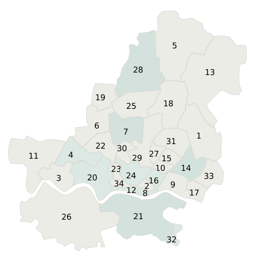 Lutherstadt Wittenberg34 districts, seven research chapters
Three ways into the study
Approach
From analysis to decisions
Urban research provides the foundation for evidence-based decisions in architecture, urban development, and transformation. It examines spatial structures, historical layers, social dynamics, patterns of use, development potential, and conflicts, translating these insights into clear maps, rigorous analyses, and strategic recommendations for action.
Our practice combines planning expertise with design precision, scientific analysis, and method-based spatial research. This includes approaches such as Space Syntax, which make spatial relationships, accessibility, movement patterns, and structural interdependencies within urban and building environments visible and comprehensible.
This results in studies that not only describe existing conditions but also reveal the development potential inherent in a place, providing a sound basis for urban development, project management, and architectural concepts.